Aerial Mapping, Inspection & Documentation
No geography. No caps. No restrictions.
CONSTRUCTION & INFRASTRUCTURE PROJECTS
Mapping, visual, and thermal inspection services for complex sites and assets


Aerial Inspection & Data Service
-
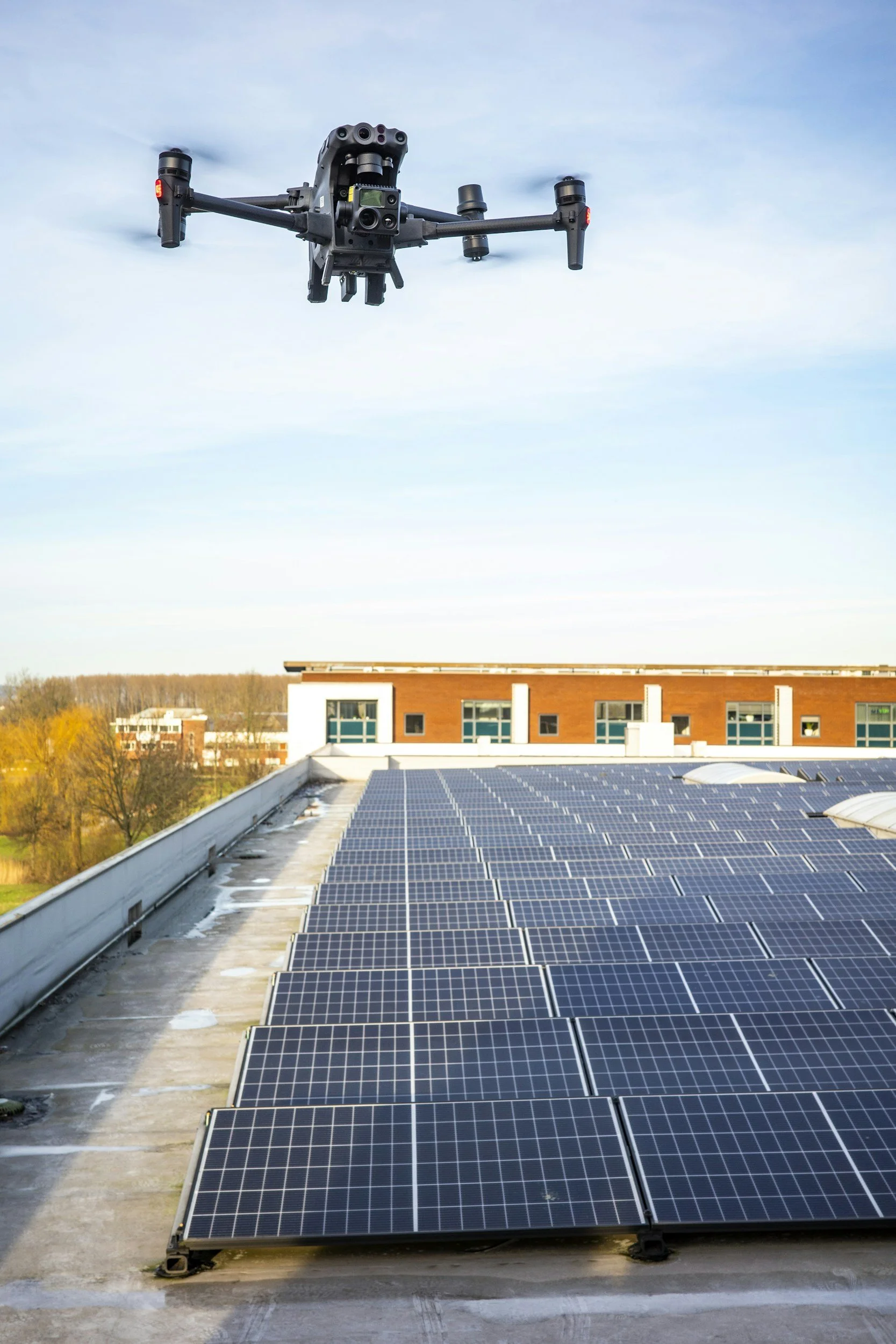
Thermal Inspection & Analysis
Detect heat loss, moisture intrusion, electrical anomalies using high-resolution thermal imaging for solar panels, building, rooftop and assets.
-
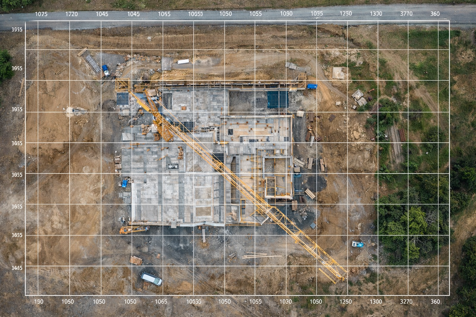
Mapping & 3D Models
Orthomosaic maps, site measurements, and 3d models for construction planning, documentation and asset management.
-
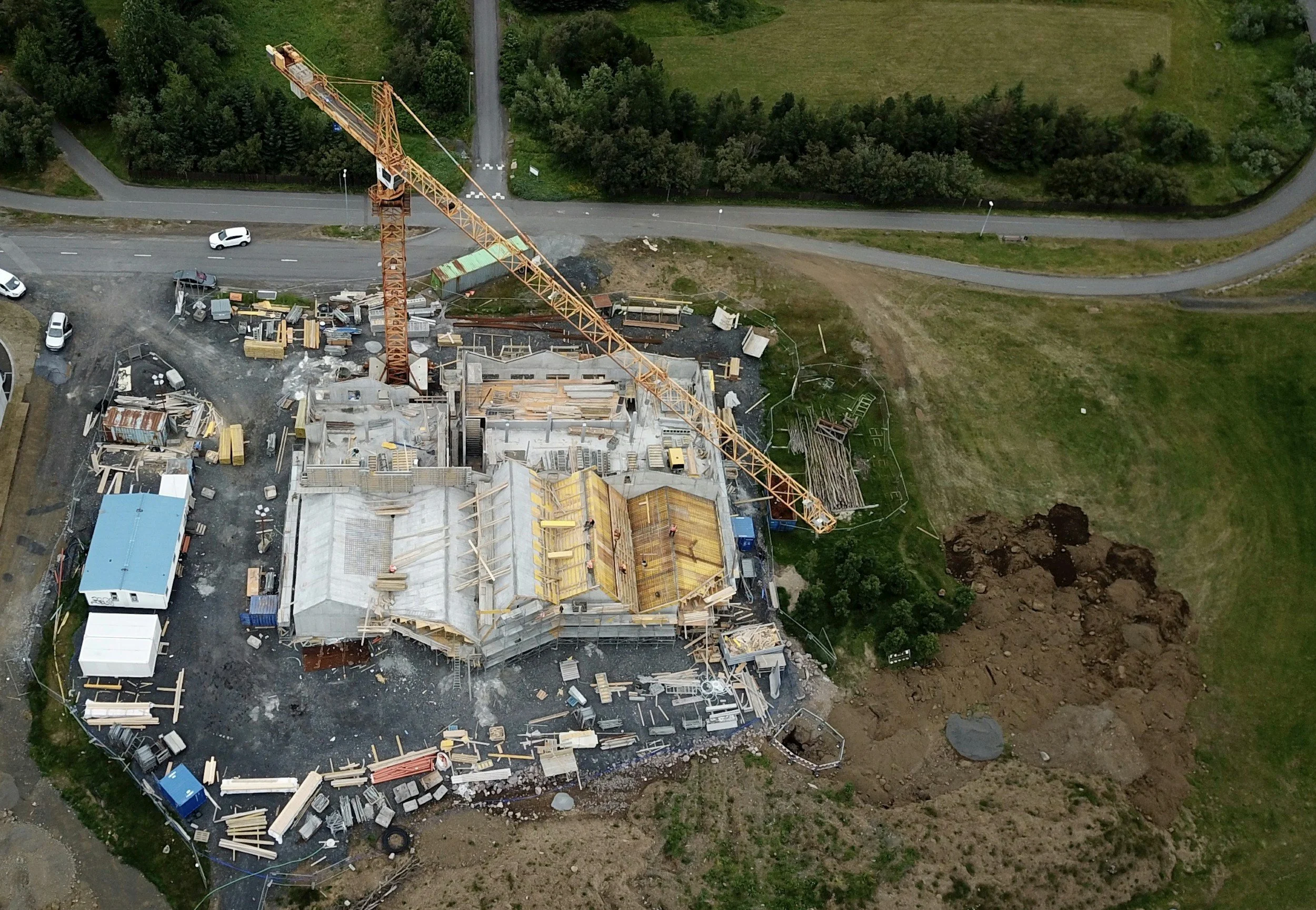
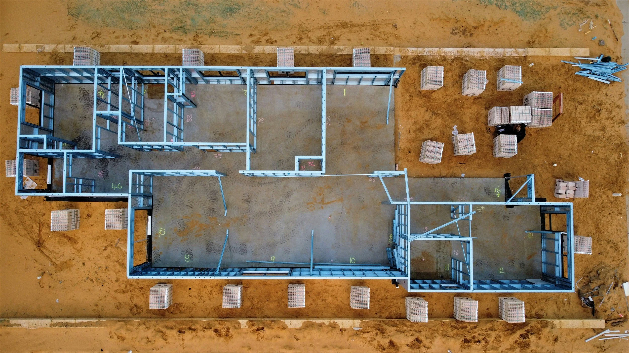
Construction Progress Tracking
Scheduled aerial documentation to track site progress, verify milestones, and support projects reporting.
-
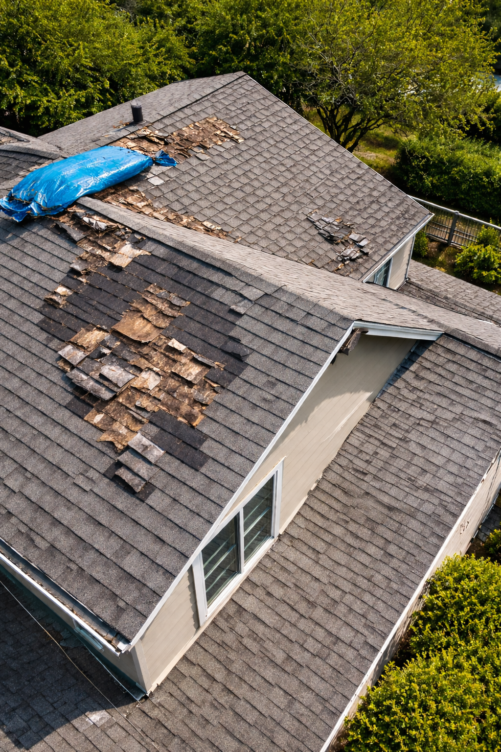
Visual Asset Inspection
High-resolution aerial inspections for roofs, towers, and hard-to-reach structures without scaffolding, reducing cost and downtime.
True Aerial Precision
How We Work
True Aerial Precision uses enterprise-grade DJI flight systems combined with professional mapping and photogrammetry software. All data is processed locally to ensure accuracy, security and full client ownership of deliverables.
Our Technology Stack
Automated flight planning for consistent, repeatable results
Manual thermal inspections performed by a trained operator
Professional photogrammetry software for mapping and 3D modeling
Local data processing - no forced cloud uploads
What This Means For You
Accurate measurements
Repeatable inspections over time
Secure handling of sensitive site data
Professional, engineering-adjacent outputs
Industries We Serve
-
CONSTRUCTION
Aerial mapping, progress tracking, and the site documentation for contruction jobs.
-
INFRASTRUCTURE
Inspection and monitoring of bridges, utilities, and public infrastructure.
-
TELECOMMUNICATIONS
Drone-based tower inspections and aerial documentation for telecom assets.
-
MUNICIPAL PROJECTS
Mapping, inspection, and documentation services for public works and city assets.
-
COMMERICAL FACILITIES
Roof inspections, structural analysis, and property documentation for commerical buildings.
-
AGRICULTURE
Aerial mapping and field analysis to support modern farming operations.